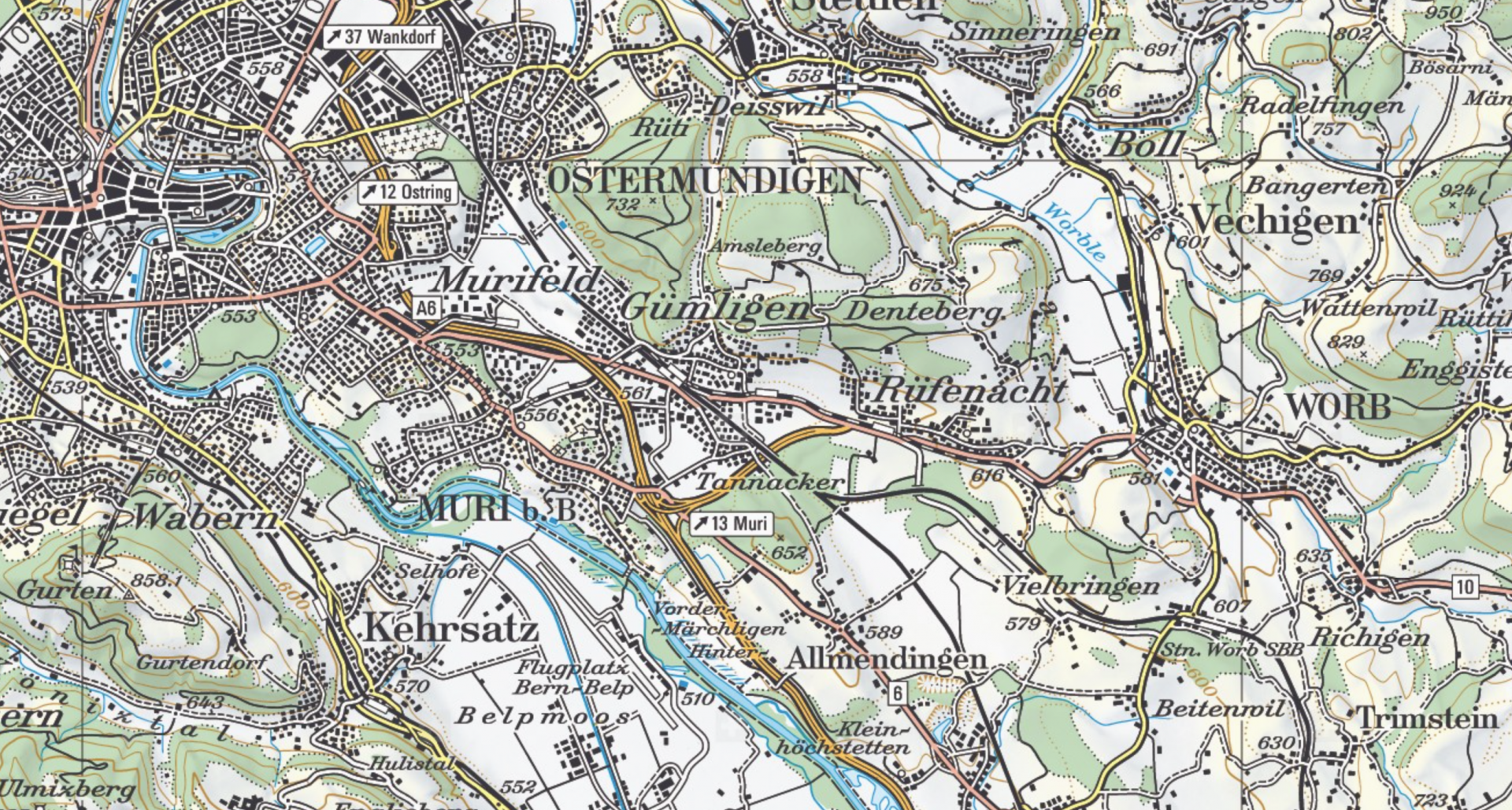
Koordinatensystem-Definitionen
Koordinatensysteme und Koordinaten-Referenzsysteme (CoordSys.ili)
Quelle: INTERLIS 2.3 Referenzhandbuch, Anhang I
!! File CoordSys.ili Release 2015-11-24

INTERLIS 2.3;

!! 2015-11-24 Cardinalities adapted (line 122, 123, 124, 132, 133, 134, 142, 143,
!!                                   148, 149, 163, 164, 168, 169, 206 and 207)
!!@precursorVersion = 2005-06-16

REFSYSTEM MODEL CoordSys (en) AT "http://www.interlis.ch/models"
  VERSION "2015-11-24" =

  UNIT
    Angle_Degree = 180 / PI [INTERLIS.rad];
    Angle_Minute = 1 / 60 [Angle_Degree];
    Angle_Second = 1 / 60 [Angle_Minute];

  STRUCTURE Angle_DMS_S =
    Degrees: -180 .. 180 CIRCULAR [Angle_Degree];
    CONTINUOUS SUBDIVISION Minutes: 0 .. 59 CIRCULAR [Angle_Minute];
    CONTINUOUS SUBDIVISION Seconds: 0.000 .. 59.999 CIRCULAR [Angle_Second];
  END Angle_DMS_S;

  DOMAIN
    Angle_DMS = FORMAT BASED ON Angle_DMS_S (Degrees ":" Minutes ":" Seconds);
    Angle_DMS_90 EXTENDS Angle_DMS = "-90:00:00.000" .. "90:00:00.000";


  TOPIC CoordsysTopic =

    !! Special space aspects to be referenced
    !! **************************************

    CLASS Ellipsoid EXTENDS INTERLIS.REFSYSTEM =
      EllipsoidAlias: TEXT*70;
      SemiMajorAxis: MANDATORY 6360000.0000 .. 6390000.0000 [INTERLIS.m];
      InverseFlattening: MANDATORY 0.00000000 .. 350.00000000;
      !! The inverse flattening 0 characterizes the 2-dim sphere
      Remarks: TEXT*70;
    END Ellipsoid;

    CLASS GravityModel EXTENDS INTERLIS.REFSYSTEM =
      GravityModAlias: TEXT*70;
      Definition: TEXT*70;
    END GravityModel;

    CLASS GeoidModel EXTENDS INTERLIS.REFSYSTEM =
      GeoidModAlias: TEXT*70;
      Definition: TEXT*70;
    END GeoidModel;


    !! Coordinate systems for geodetic purposes
    !! ****************************************

    STRUCTURE LengthAXIS EXTENDS INTERLIS.AXIS =
      ShortName: TEXT*12;
      Description: TEXT*255;
    PARAMETER
      Unit (EXTENDED): NUMERIC [INTERLIS.LENGTH];
    END LengthAXIS;

    STRUCTURE AngleAXIS EXTENDS INTERLIS.AXIS =
      ShortName: TEXT*12;
      Description: TEXT*255;
    PARAMETER
      Unit (EXTENDED): NUMERIC [INTERLIS.ANGLE];
    END AngleAXIS;

    CLASS GeoCartesian1D EXTENDS INTERLIS.COORDSYSTEM =
      Axis (EXTENDED): LIST {1} OF LengthAXIS;
    END GeoCartesian1D;

    CLASS GeoHeight EXTENDS GeoCartesian1D =
      System: MANDATORY (
        normal,
        orthometric,
        ellipsoidal,
        other);
      ReferenceHeight: MANDATORY -10000.000 .. +10000.000 [INTERLIS.m];
      ReferenceHeightDescr: TEXT*70;
    END GeoHeight;

    ASSOCIATION HeightEllips =
      GeoHeightRef -- {*} GeoHeight;
      EllipsoidRef -- {1} Ellipsoid;
    END HeightEllips;

    ASSOCIATION HeightGravit =
      GeoHeightRef -- {*} GeoHeight;
      GravityRef -- {1} GravityModel;
    END HeightGravit;

    ASSOCIATION HeightGeoid =
      GeoHeightRef -- {*} GeoHeight;
      GeoidRef -- {1} GeoidModel;
    END HeightGeoid;

    CLASS GeoCartesian2D EXTENDS INTERLIS.COORDSYSTEM =
      Definition: TEXT*70;
      Axis (EXTENDED): LIST {2} OF LengthAXIS;
    END GeoCartesian2D;

    CLASS GeoCartesian3D EXTENDS INTERLIS.COORDSYSTEM =
      Definition: TEXT*70;
      Axis (EXTENDED): LIST {3} OF LengthAXIS;
    END GeoCartesian3D;

    CLASS GeoEllipsoidal EXTENDS INTERLIS.COORDSYSTEM =
      Definition: TEXT*70;
      Axis (EXTENDED): LIST {2} OF AngleAXIS;
    END GeoEllipsoidal;

    ASSOCIATION EllCSEllips =
      GeoEllipsoidalRef -- {*} GeoEllipsoidal;
      EllipsoidRef -- {1} Ellipsoid;
    END EllCSEllips;


    !! Mappings between coordinate systems
    !! ***********************************

    ASSOCIATION ToGeoEllipsoidal =
      From -- {0..*} GeoCartesian3D;
      To -- {0..*} GeoEllipsoidal;
      ToHeight -- {0..*} GeoHeight;
    MANDATORY CONSTRAINT
      ToHeight -> System == #ellipsoidal;
    MANDATORY CONSTRAINT
      To -> EllipsoidRef -> Name == ToHeight -> EllipsoidRef -> Name;
    END ToGeoEllipsoidal;

    ASSOCIATION ToGeoCartesian3D =
      From2 -- {0..*} GeoEllipsoidal;
      FromHeight-- {0..*} GeoHeight;
      To3 -- {0..*} GeoCartesian3D;
    MANDATORY CONSTRAINT
      FromHeight -> System == #ellipsoidal;
    MANDATORY CONSTRAINT
      From2 -> EllipsoidRef -> Name == FromHeight -> EllipsoidRef -> Name;
    END ToGeoCartesian3D;

    ASSOCIATION BidirectGeoCartesian2D =
      From -- {0..*} GeoCartesian2D;
      To -- {0..*} GeoCartesian2D;
    END BidirectGeoCartesian2D;

    ASSOCIATION BidirectGeoCartesian3D =
      From -- {0..*} GeoCartesian3D;
      To2 -- {0..*} GeoCartesian3D;
      Precision: MANDATORY (
        exact,
        measure_based);
      ShiftAxis1: MANDATORY -10000.000 .. 10000.000 [INTERLIS.m];
      ShiftAxis2: MANDATORY -10000.000 .. 10000.000 [INTERLIS.m];
      ShiftAxis3: MANDATORY -10000.000 .. 10000.000 [INTERLIS.m];
      RotationAxis1: Angle_DMS_90;
      RotationAxis2: Angle_DMS_90;
      RotationAxis3: Angle_DMS_90;
      NewScale: 0.000001 .. 1000000.000000;
    END BidirectGeoCartesian3D;

    ASSOCIATION BidirectGeoEllipsoidal =
      From4 -- {0..*} GeoEllipsoidal;
      To4 -- {0..*} GeoEllipsoidal;
    END BidirectGeoEllipsoidal;

    ASSOCIATION MapProjection (ABSTRACT) =
      From5 -- {0..*} GeoEllipsoidal;
      To5 -- {0..*} GeoCartesian2D;
      FromCo1_FundPt: MANDATORY Angle_DMS_90;
      FromCo2_FundPt: MANDATORY Angle_DMS_90;
      ToCoord1_FundPt: MANDATORY -10000000 .. +10000000 [INTERLIS.m];
      ToCoord2_FundPt: MANDATORY -10000000 .. +10000000 [INTERLIS.m];
    END MapProjection;

    ASSOCIATION TransverseMercator EXTENDS MapProjection =
    END TransverseMercator;

    ASSOCIATION SwissProjection EXTENDS MapProjection =
      IntermFundP1: MANDATORY Angle_DMS_90;
      IntermFundP2: MANDATORY Angle_DMS_90;
    END SwissProjection;

    ASSOCIATION Mercator EXTENDS MapProjection =
    END Mercator;

    ASSOCIATION ObliqueMercator EXTENDS MapProjection =
    END ObliqueMercator;

    ASSOCIATION Lambert EXTENDS MapProjection =
    END Lambert;

    ASSOCIATION Polyconic EXTENDS MapProjection =
    END Polyconic;

    ASSOCIATION Albus EXTENDS MapProjection =
    END Albus;

    ASSOCIATION Azimutal EXTENDS MapProjection =
    END Azimutal;

    ASSOCIATION Stereographic EXTENDS MapProjection =
    END Stereographic;

    ASSOCIATION HeightConversion =
      FromHeight -- {0..*} GeoHeight;
      ToHeight -- {0..*} GeoHeight;
      Definition: TEXT*70;
    END HeightConversion;

  END CoordsysTopic;

END CoordSys.

