
The INTERLIS forum
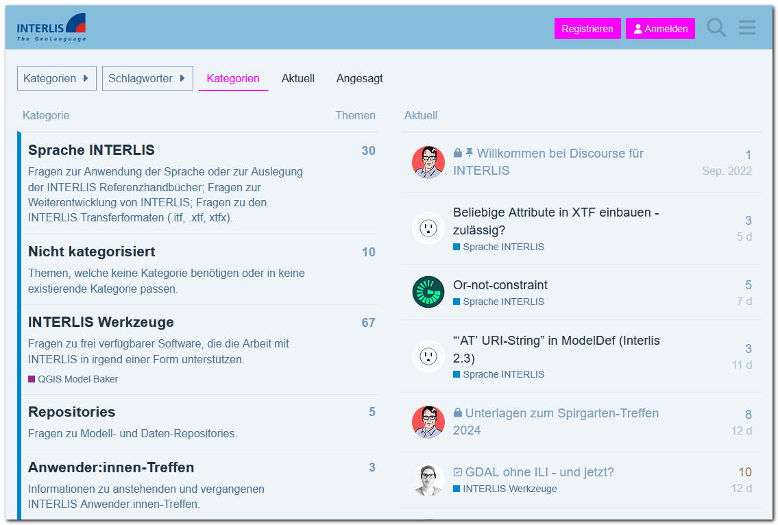
In the INTERLIS forum you will find an active community that deals with the INTERLIS language and the available software tools.
In the INTERLIS forum you will find an active community that deals with the INTERLIS language and the available software tools.
INTERLIS is a conceptual modeling language designed to ensure long-term compatibility between different systems. INTERLIS is software and system independent.
The most currently used version is INTERLIS 2, version 2.3.

COGIS (Coordination, Geo-Information and Services) is the guardian of the formal language INTERLIS and provides the necessary information and documents. The activities of the Federal Administration in the field of geoinformation (GI) and geoinformation systems (GIS) are also coordinated by COGIS. See swisstopo (COGIS)
You can find our contact details here.